
Near-Record Cold
Is Going, Going…
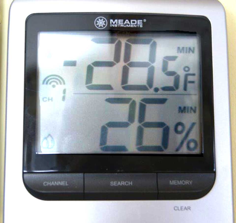
Overnight Saturday, temperatures dropped to 23-below in Oneonta, but it wasn’t a record, according to Weather Watcher David Mattice. The record, minus-28, was set in the 1930s.
Exceptional were the accompanying high winds, which pulled the wind-chill factor down to minus-40 to minus-45. “That IS dangerous,” Mattice said.
Last night, the low was a relatively balmy minus-14.
The cause was an Arctic front that settled over central Canada, and it is now moving off to the northeast, pulling a warmer front into Otsego County, he said.
The good news: it’s over. Mattice said light snow is supposed to fall tonight, changing to freezing rain and finally rain before dawn Tuesday. “If cold air remained in place, we have a foot of snow,” he said.
As it happens, except for lake effect, there’s been no locally generate snow storm this winter, said Mattice, who has been a weather watcher for the National Weather Service for 32 years now.
But don’t store the snow shovels yet. He pointed out that the county’s first worst snow storms have all happened in March.